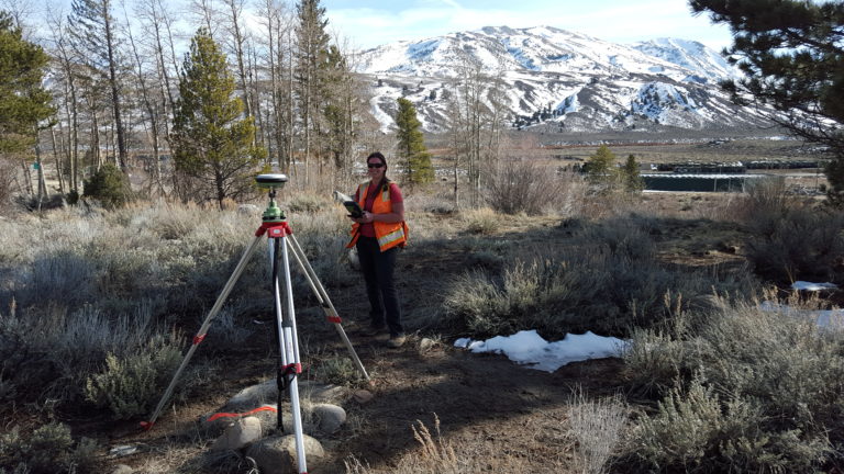
Land Surveying
services
- Plot Plan. Typically a drawing required by a City/Borough that shows existing site features and proposed improvements relative to the parcels’ record boundary.
- As-Built. A drawing that shows existing site features relative to the parcels’ record boundary.
- ALTA Survey. A highly-detailed drawing encompassing survey, title and land use regulations commonly used in new development or commercial real estate transactions by lenders, brokers, and title agencies that adhere to national standards established by American Land Title Association (ALTA) and the National Society of Professional Surveyors (NSPS).
- Topographic Design Survey. A drawing that horizontally and vertically locates existing site and natural features relative to the parcels’ record boundary commonly used by engineers for site design.
- Boundary Survey. Locate the perimeter of a parcel in reference to its legal description. Locate and/or set property corners.
- Subdivision Plat. Creating new parcel(s) of land by subdividing or combining a parcel(s) of land.
- Elevation Certificate. A survey that provides elevation information to determine flood insurance premiums.
- Research. Determine the existence of a public land order, RS 2477 trails and/or section line easement on a parcel of land.
- Consult. Discuss and provide solutions for your property encumbered by easements and/or encroachments.